
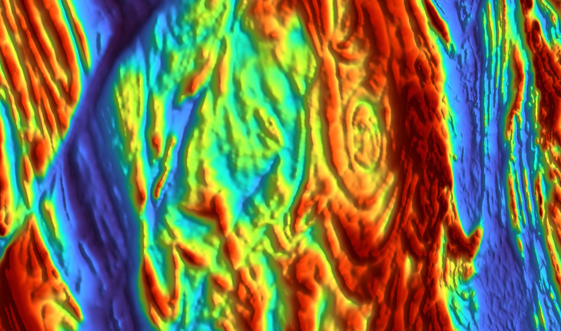
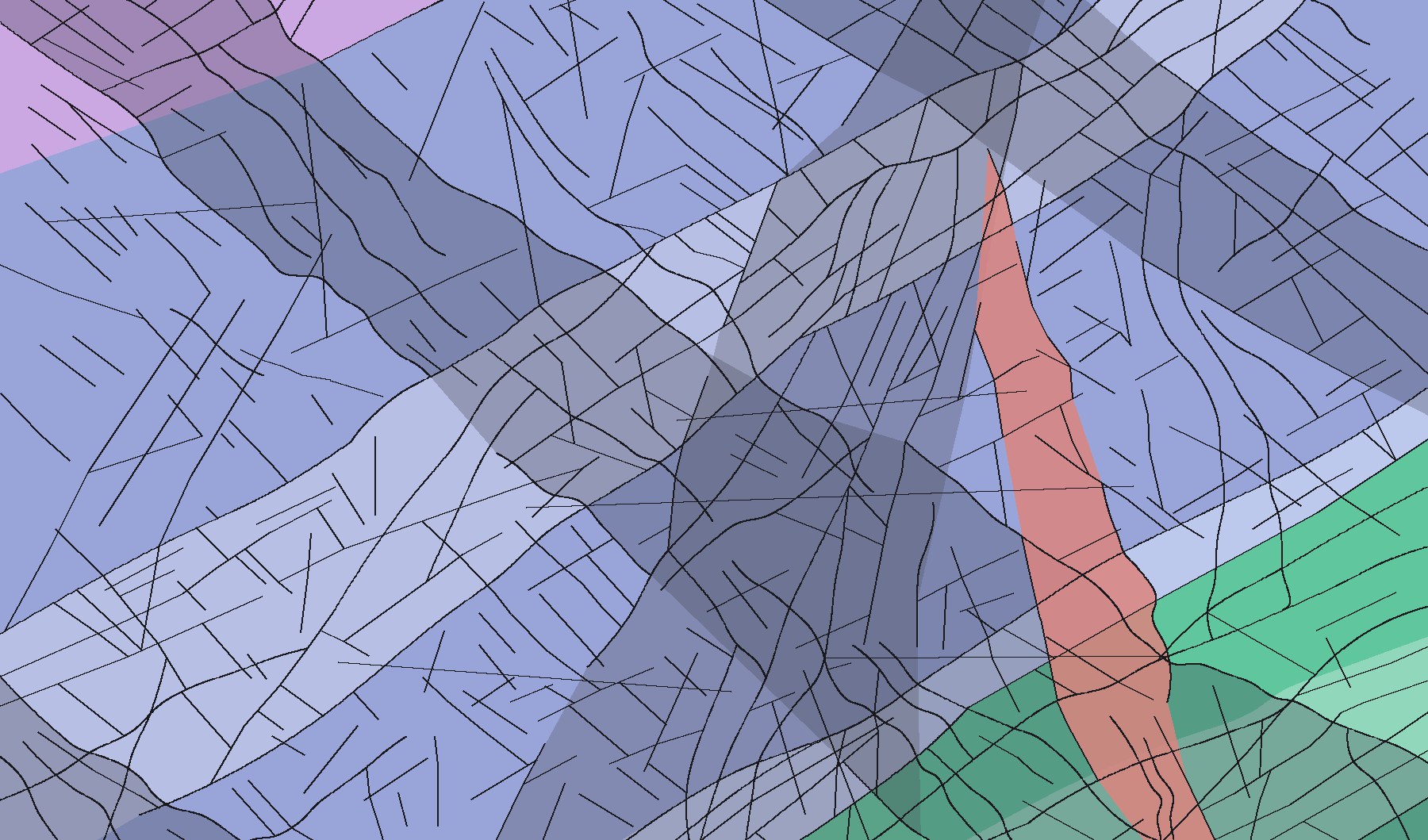
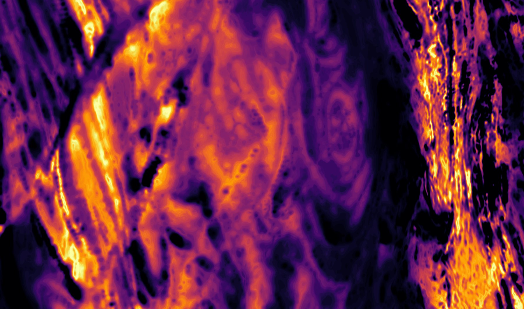
Built around the airborne survey
Full aeromagnetic interpretations, standalone magnetic products, and the geological groundwork that makes them reliable. Scale every job from a regional land package to a single camp.
Lithological and structural interpretation
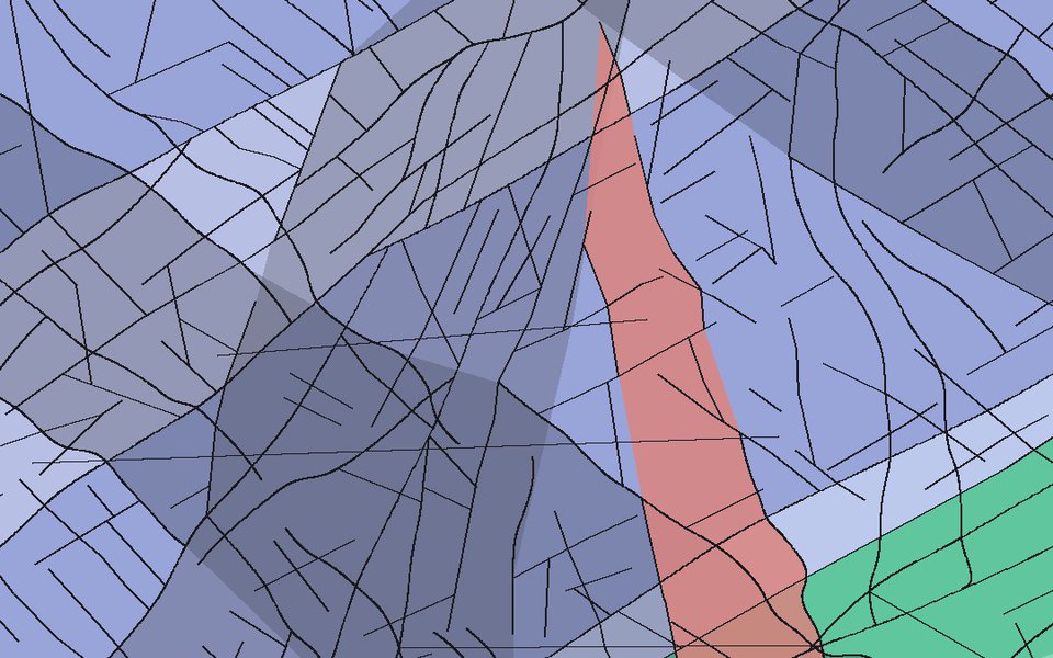
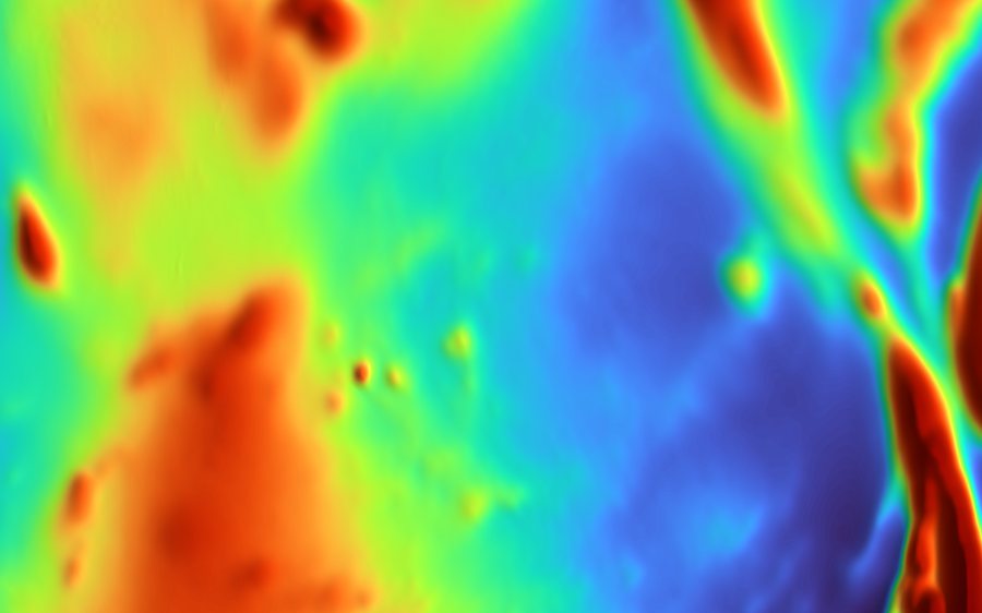
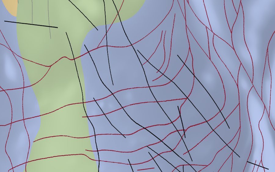
Our main interpretation product. Interpretations are done by hand digitally, over several iterations, until we are confident the geologic map is as true as possible to the known geologic setting and the underlying magnetic data. Mapped geology is used as a guide, but we let the data speak for itself.
- Interpreted lithology, including intrusive units, and lithological domains
- Structural framework: faults, shear zones, folds
- Alteration zones
Magnetic data from original or past surveys, including legacy company and government surveys, may be used and stitched together. Gravity and radiometric data may be added, where available, to aid the interpretation.
Every interpretation also includes magnetic derivatives, lineaments and magnetic domains, which are also available on their own.
Mineral prospectivity mapping
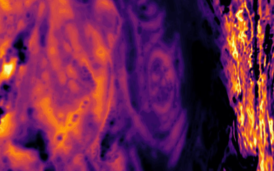
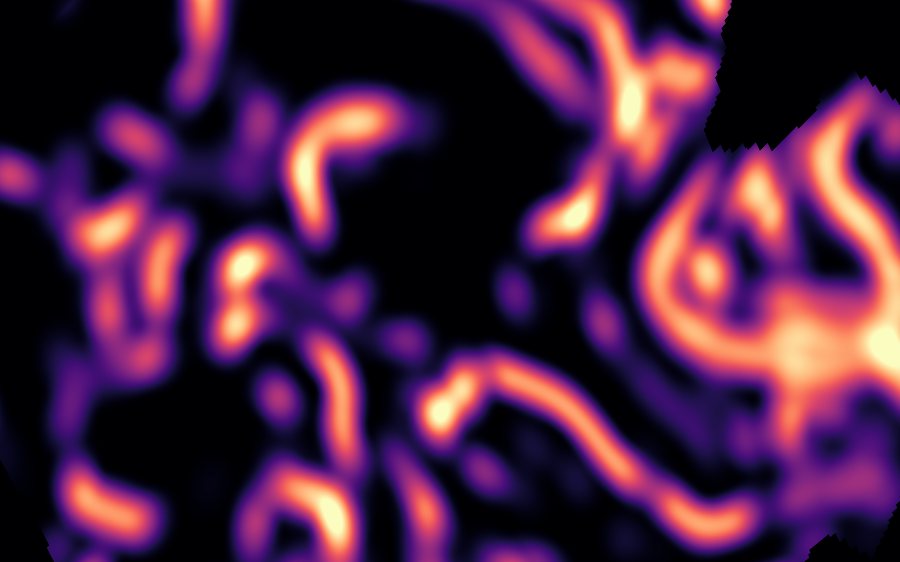
Our main data-driven product. Mineral potential maps built from the geophysical and geochemical data available over an area of interest.
Magnetic data is often the main driver; gravity, radiometric and geochemical data strengthen the results. Evidence layers are created from the data, tested against known mineralization or targets, and combined into prospectivity maps.
- Prospectivity maps using several models
- Ranked target list with the reasoning behind each target
- Evidence layers and statistical testing of each layer against known occurrences
- Several model types compared, from statistical to machine learning, with honest validation results, not a black box
This service can be run alongside a lithological and structural interpretation, or on its own.
Every mineral prospectivity project also includes magnetic derivatives, lineaments and magnetic domains, which are also available on their own.

Magnetic derivatives, lineaments & domains
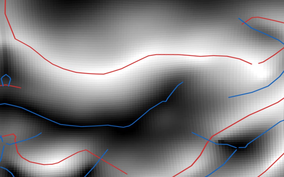
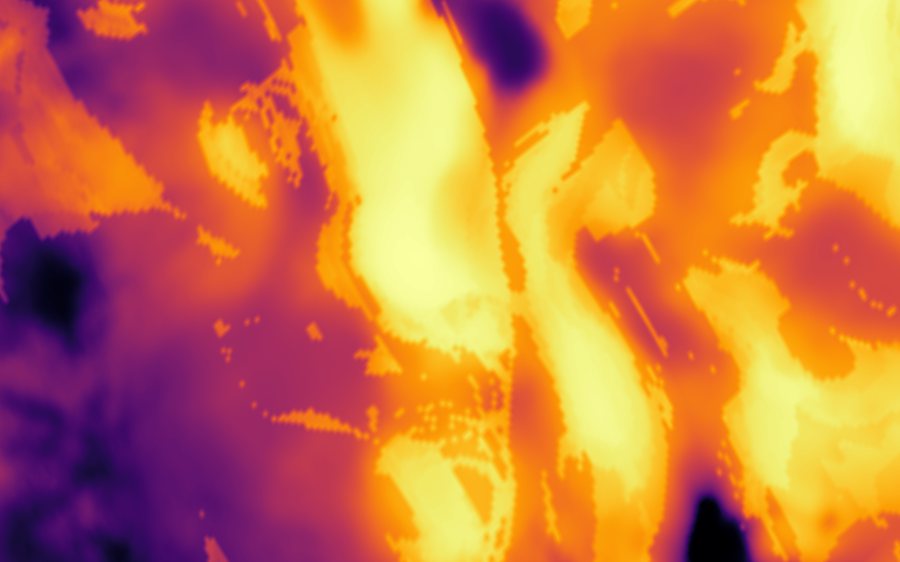
Ahead of a field season or a land decision, these products give your team a structural framework built directly from the magnetic data.
- Magnetic lineaments derived from the tilt derivative, vectorizing the magnetic data
- Lineament density and orientation grids
- Magnetic derivatives: reduced-to-pole, vertical and horizontal derivatives, tilt derivative, analytic signal; PCA bands
- Upward continuation for depth and regional trends
- Magnetic domains classified from the grids, with an agreement grid
The domains and lineaments here are magnetic: traced and classified from the magnetic grids by our tools, not interpreted geological domains or structures. Those come with the lithological and structural interpretation.
These products are automatically included with the lithological and structural interpretation and mineral prospectivity mapping services.

Geological data services
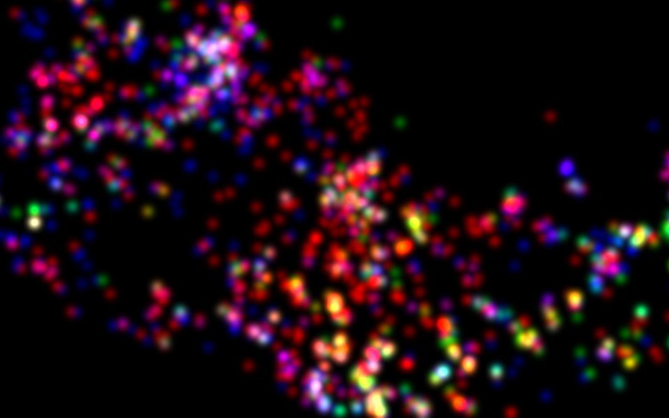
Good interpretation starts with good data. We also offer these services on their own.
- Digitizing and standardizing geology maps
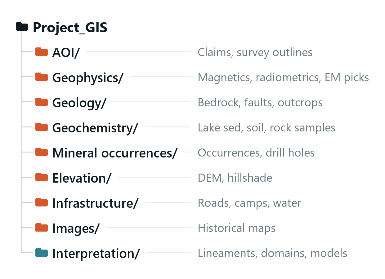
- Compiling public and company data into a project GIS database
- Land package and market research for property evaluation
Custom tools for a geophysical exploration pipeline
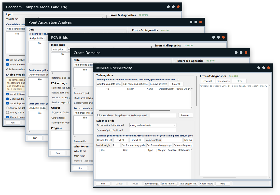
Every project runs on Northern Geoscience's own in-house software, custom-made for a geophysical exploration pipeline: tilt-derivative lineament extraction, lineament density and orientation, magnetic domains, PCA grids, geochemical analysis and kriging, and mineral prospectivity modelling. Because the tools were written for this work rather than adapted from generic GIS workflows, each step is repeatable, documented and tuned to exploration data, and the same methods carry from one project to the next.
Take the details with you
A short PDF of every service: what you receive, typical turnaround, what we need from you and what shapes the quote.